
Mine Closure Monitoring
Preserving Safety, Nature, and Legacy
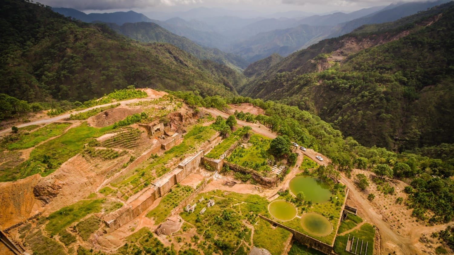
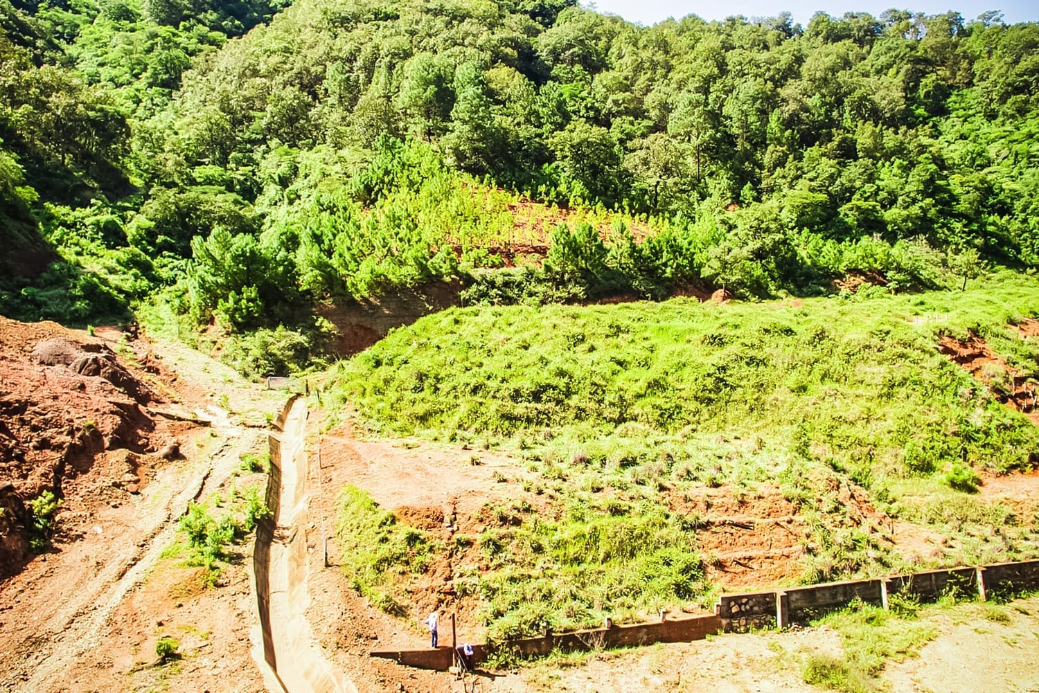
Mine closure is not the end of the story—it’s the beginning of a long-term commitment to safety, environmental restoration, and community trust. As mineral reserves are depleted, dismantling infrastructure and remediating the land become essential steps. These processes are designed to restore natural contours, ensure physical and chemical stability, and foster the return of native flora and fauna.
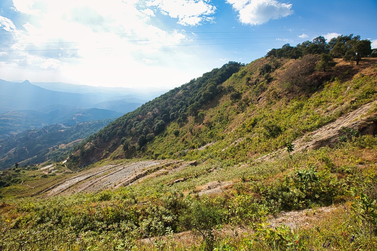
Mine Restoration
The 33Visual Way
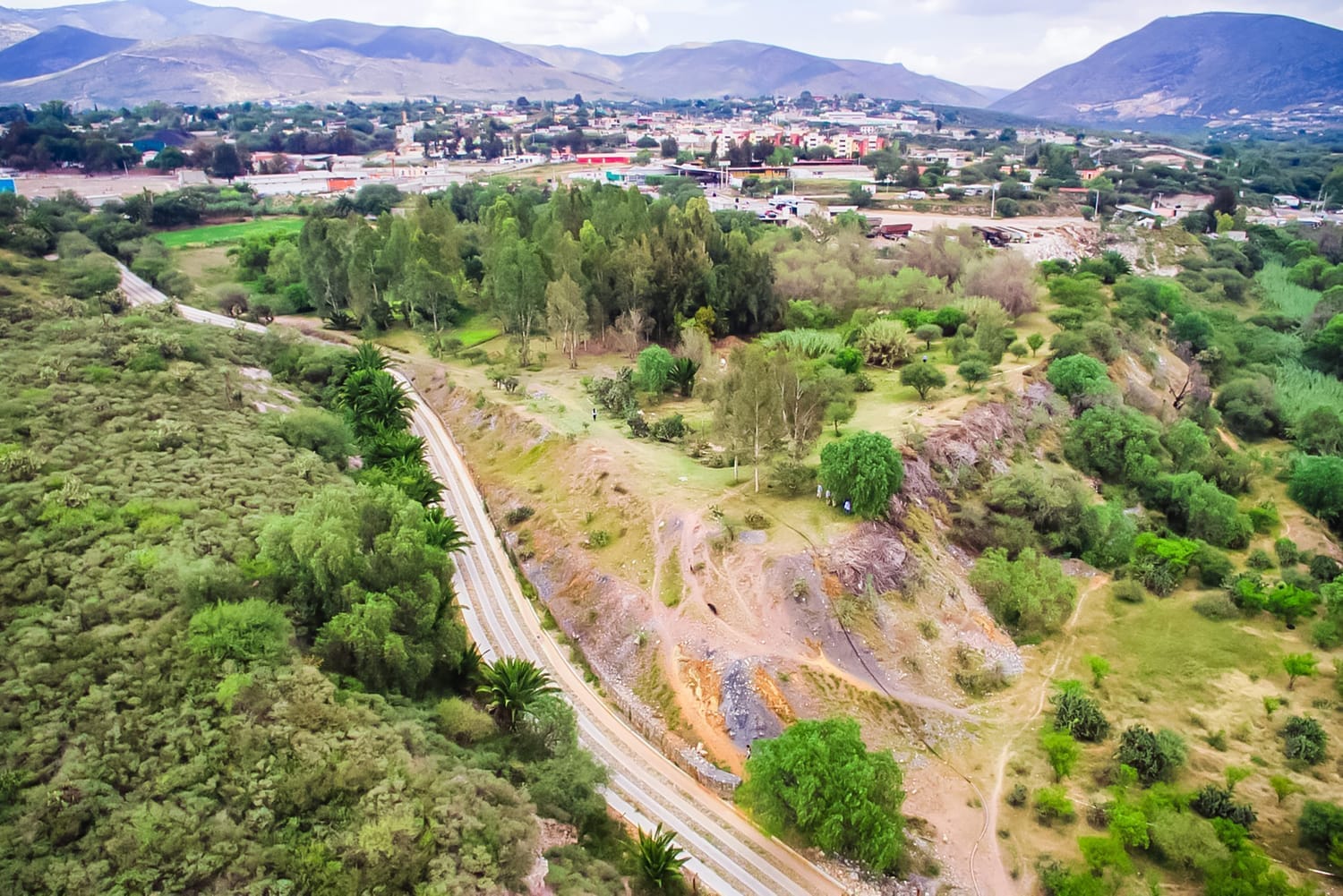
At 33Visual, we bring aerial intelligence and visual documentation into every stage of mine closure. High-resolution aerial mapping, photogrammetry, and immersive 3D models allow stakeholders to:
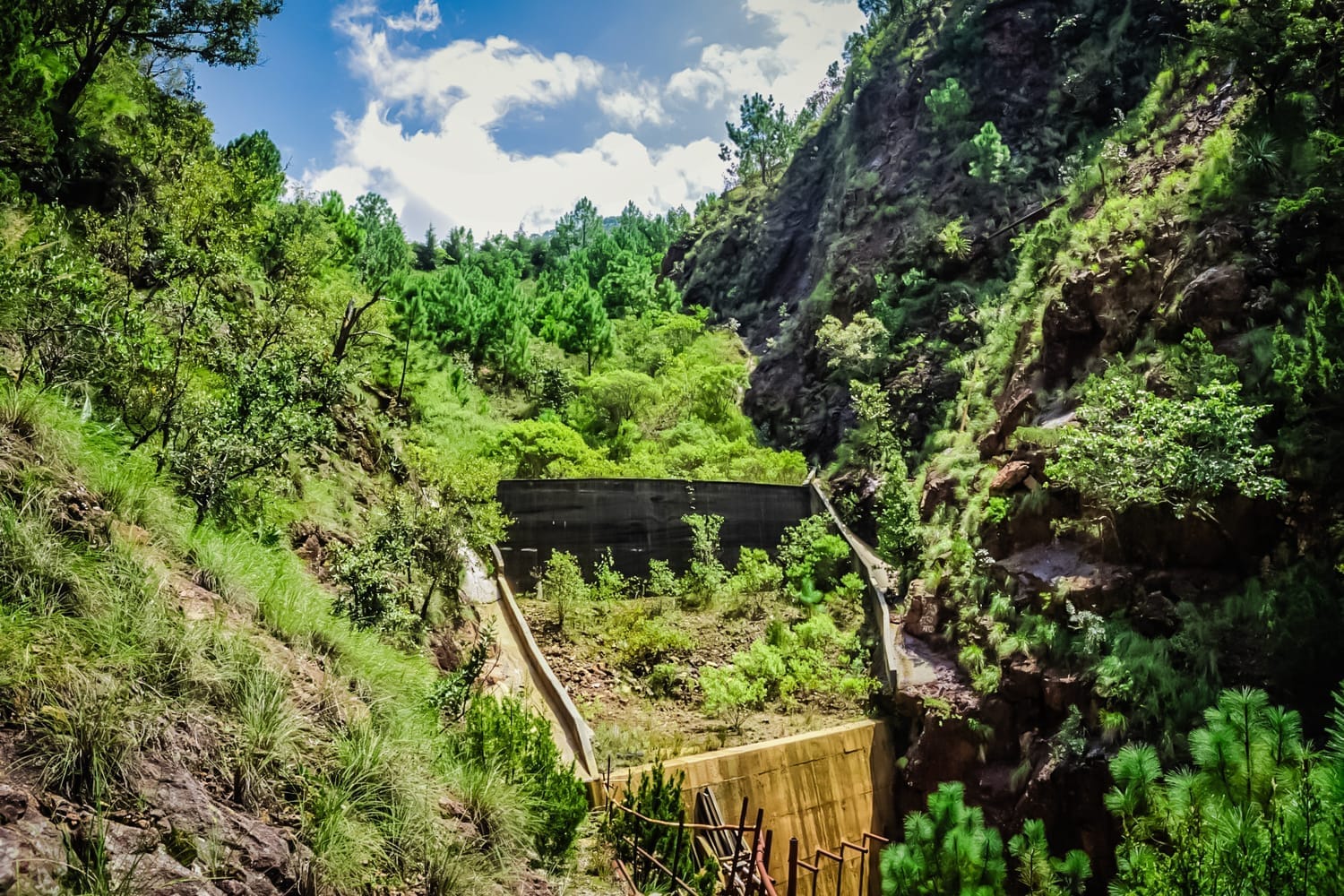
Prevent accidents by monitoring tailings dams and identifying risks early.
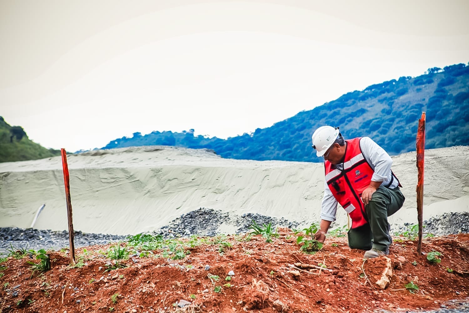
Show visible proof of preservation and remediation efforts to regulators, communities, and investors.
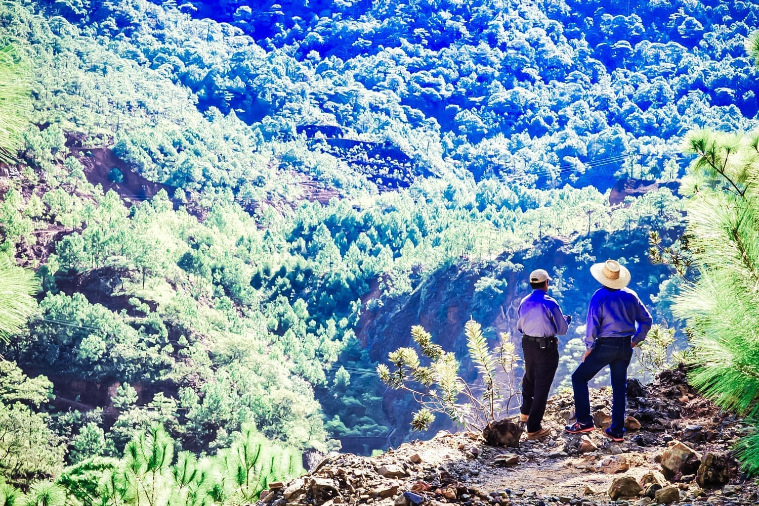
Track environmental recovery over time, from revegetation to the return of wildlife.
Closed Pit Monitoring
Images from the Field

Outcome
Our work creates a lasting visual archive, ensuring that future generations can see how industry and nature can coexist: where a mine once stood, a safe, stable, and thriving landscape now takes shape.
Contact us

Add your email to access
We HATE spam. Your email address is 100% secure.