Aerial Intelligence in Action
Monitoring Construction Progress
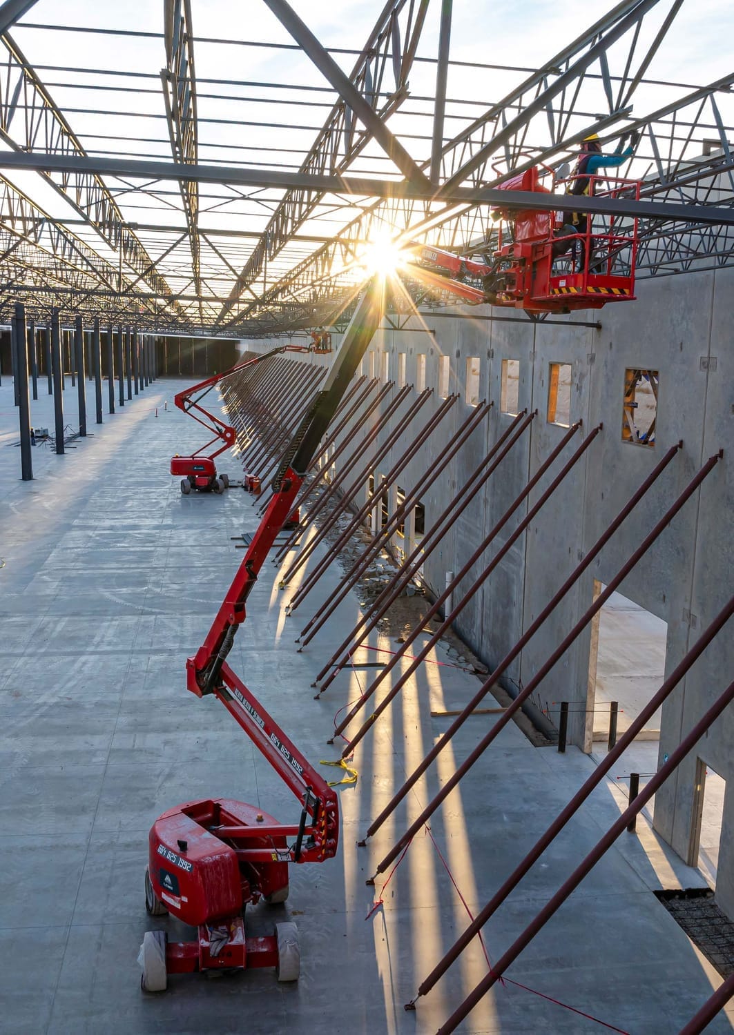
At 33Visual, we deliver aerial intelligence solutions that streamline construction monitoring. By combining RTK drone mapping, immersive 3D walkthroughs, and cloud-based solutions, we help project teams visualize progress, validate timelines, and collaborate remotely with clarity and precision.
Precision 3D Capture & Immersive Visualization
Our use of LiDAR scanners—paired with our 3D cameras & tour platform—delivers millimeter-accurate interior models with photorealistic texture and color. These models enable:
Accurate progress validation for enclosed or hard-to-access areas
Immersive virtual walkthroughs for remote coordination and approvals
Seamless model alignment across construction phases and disciplines
This technology bridges the gap between jobsite reality and remote decision-making.
Aerial Mapping with Real-Time Impact
Through our Cloud-based inspection platform, we capture high-resolution orthomosaics, elevation models, and progress timelines using RTK-enabled drones. These deliverables support:
Consistent, repeatable documentation across project milestones
Accurate cut/fill and volumetric analysis
Cloud-based access to annotated maps and visual data for teams and stakeholders
It’s a scalable system designed to enhance oversight, speed up reporting, and reduce site visits.
It´s a scalable system designed to enhance oversight, speed up reporting, and reduce site visits.
Our approach ensures that technical insights aren’t just buried in reports—they become clear, actionable visuals that support better decisions on-site and off. Whether you’re tracking construction progress, coordinating teams, or reporting to stakeholders, we turn spatial data into meaning.
Let's Talk. If you’re managing active construction projects, experience the value of visual-first documentation.
Schedule a walkthrough today.
Contact us

Add your email to access
We HATE spam. Your email address is 100% secure.